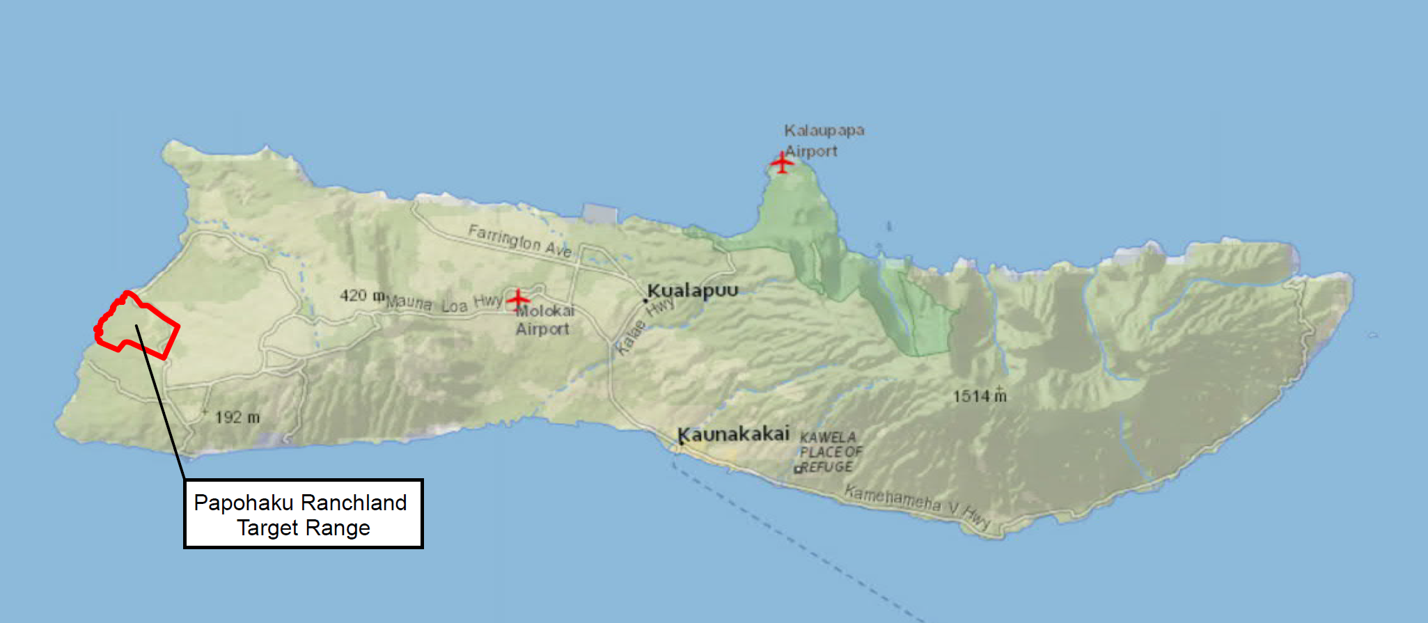
LOCATION
The former Papohaku Ranchland Target Range is a Formerly Used Defense Site (FUDS) property, which was previously used as an aerial practice bombing range during World War II. The site is situated within the Papohaku Ranchland Subdivision along Molokai's western coast approximately 4 miles northwest of the town of Maunaloa. The site encompasses approximately 1,700 acres and includes an offshore "stay clear" zone that extends 3 miles out to sea from the coast.
SITE HISTORY
On July 7, 1944, the U.S. Government leased approximately 1,500 acres of land south of Papohaku Beach from the Molokai Ranch Company, Ltd. for exclusive use by the U.S. Navy. In 1949, the Molokai Ranch Company Ltd., extended the lease retroactively from June 1945 through June 1965. The military used aerial target rings during air-to-ground gunnery exercises and both high- and low-level bombing targets. The U.S. Marines reportedly staged a landing exercise along Papohaku Beach during the mid-1960s. This may have included a naval bombardment of the Papohaku target area.
After the lease expired in 1965, the property was transferred several times and eventually subdivided for residential community development. The site is currently comprised of multiple parcels which are owned by Molokai Properties Limited (parent company of Molokai Ranches) and other private landowners.
INVESTIGATIONS /REMOVALS
A U.S. Army Corps of Engineers (USACE) survey of the site was conducted in 1991, followed by a Removal Action (RA) in 1992, during which approximately 14,300 pounds of munitions-related items were recovered. After the removal, it was determined that the site was eligible for the Defense Environmental Restoration Program in May 1995.
In 2001, USACE performed an Engineering Evaluation/Cost Analysis with recovery of 25 munitions items (MK23 practice bombs, MK4 signal cartridges, and 2.25-inch SCAR motor) and over 1,500 munitions debris items. In 2019, to fill data gaps, a Historical Records Review and comprehensive Remedial Investigation (RI) were performed at the site. The purpose of the RI was to characterize the nature and extent of munitions contamination and if any remediation is necessary to protect human health, safety, and the environment. Data from visual surface search, geophysical mapping, and sub-surface sampling was collected resulting in recovery of 31 munitions items and over 27,000 pounds of munitions debris. As part of the RI, a detector-aided surface removal was conducted covering approximately 953 acres. The surface removal reduced the risk of encountering munitions on the surface in the central portion of the site (residential subdivision).
Based on the completed investigations, the primary hazards to the public are “practice” munitions containing spotting charges or propellant (non-fragmenting hazards). Investigations to date have also recovered very small amounts of munitions debris fragments from high explosive live fire training; but no intact live fire munitions have been found. A follow-on Feasibility Study (FS) is being conducted to develop and analyze remedial alternatives for the site. A Proposed Plan (PP) will be presented to the public for formal comment and a Decision Document (DD) will present the selected remedial alternative.
CONSERVATION
USACE is committed to protecting the archaeological and biological resources at the site. During our fieldwork, qualified monitors conduct surveys and identify sensitive resources to avoid impacts. Our resource experts develop training materials and brief field crews on best management practices to protect our shared historical legacy and natural features.
GET INVOLVED
Public involvement is an important part of our work. Our goal is to keep the community informed of the ongoing investigation and cleanup along with how and why they are conducted. Attend in-person or virtual community meetings to stay informed of activities in your area.
Information repositories for this project are available at the following locations:
Molokai Public Library, 15 Ala Malama St. Kaunakakai, HI, 96748
USACE Honolulu District Office, 230 Otake St., Fort Shafter, HI, 96858
CONTACT INFORMATION
Email:
HonoluluDistrictFUDSinfo@usace.army.mil
